Introduction to petrophysical modelling
Various approaches for Porosity, Permeability and Water saturation distribution
Volume calculation and Risk analysis
Upgridding, Upscaling and QC
Discussion
Introduction to static modelling
Data gathering and QC
Geological Layering and compartment identification
Petrophysical characterization
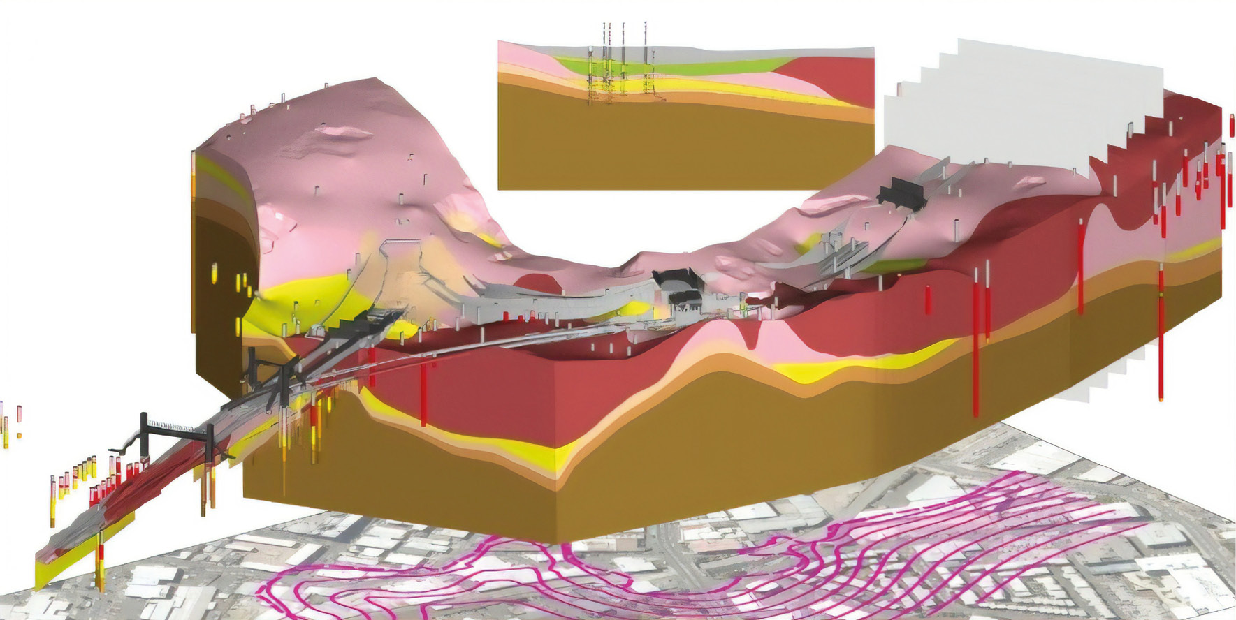
3D geometrical modelling
Facies and petrophysical properties distribution
Volume calculation and risk analysis
Structural modelling and grid types
Geological zonation
Layering and well log scale-up
Variography
Kriging
Simulations (TGS, SGS, SIS, MPS, Object modelling)
Introduction to depositional modelling
Construction of Trends
Geostatistical modelling in Fluvial environment
Geostatistical modelling in Deltaic environment
Geostatistical modelling in Deep Marine environment
RECTUS attendance certificate will be issued to all attendees completing minimum of 80% of the total course duration
| Code | Date | Venue | Fees | Register |
|---|---|---|---|---|
| GE106-04 | 04-10-2026 | Dubai | USD 5450 |
Providing services with a high quality that are satisfying the requirements
Appling the specifications and legalizations to ensure the quality of service.
Best utilization of resources for continually improving the business activities.
BTS keen to selects highly technical instructors based on professional field experience
Since BTS was established, it considered a training partner for world class oil & gas institution
1st floor, Incubator Building- Masdar City - Abu Dhabi - United Arab Emirates
Sun to Fri 09:00 AM to 06:00 PM
Contact Us anytime!
Request Info